Your ideal apartment exists. But it's held hostage by traffic jams and dead zones
You find a bright apartment with great renovation — and only after moving in realize: pharmacy is 20 minutes on foot, and leaving the district in the morning becomes a quest. A guide to decoding the urban environment before buying or renting.

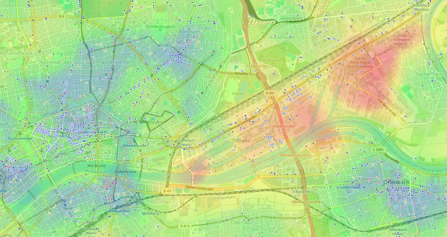
Dream apartment
Bright, spacious, with excellent renovation and a beautiful view from the window.
Gray reality outside the window
Pharmacy — 20 minutes on foot in the heat, and the morning exit from the district — a half-hour quest, though the center is only 5 kilometers away.
You browse dozens of listings. Find "the one" — and reality turns out to be a trap. Sound familiar?
This article isn't just about choosing housing. It's a guide to decoding the urban environment. You'll learn how to predict your daily life scenario before buying or renting.
Why intuition misleads us when choosing a location
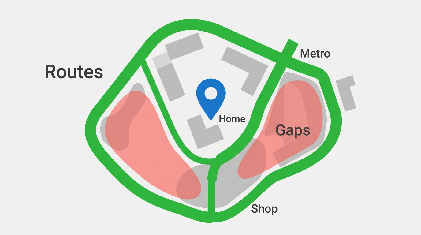
Our brain tends toward tunnel thinking. We see a beautiful residential complex facade, hear about "developed infrastructure" from the developer, and miss the main enemy of comfortable life — time. The modern city dweller's problem isn't missing shops or schools but their chaotic placement.
Classic mistake: looking at object radius in a straight line on the map, ignoring real pedestrian connections and barriers — highways, industrial zones, fences. You pay not only with a mortgage but with the most expensive resource — time.
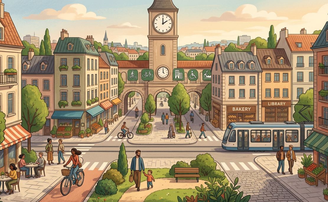
"Urban convenience boils down to a simple equation: trip duration multiplied by frequency. When that number grows, quality of life collapses catastrophically."
Simply put, even one extra forced trip per week for basic groceries can destroy the feeling of personal freedom.
Three layers of urban truth: how to see the invisible
The paradox: objectively good and bad places exist even in the most prestigious districts. We'll unpack three aspects that turn a map point into a place to live, not to survive.
1. Center myth: why 15 minutes can equal 40
600 meters in a straight line to metro or park — means it's quick.
A fence, busy highway, or wasteland turns 600 meters into 1.5 kilometers with risk to life and nerves.
Many think straight-line proximity on the map equals convenience.
Physical barriers eat minutes of your life.
The misconception persists because we're used to satellite maps from above, not seeing street level. In practice it means a child will never walk to school alone, and you'd rather order delivery than walk for bread.
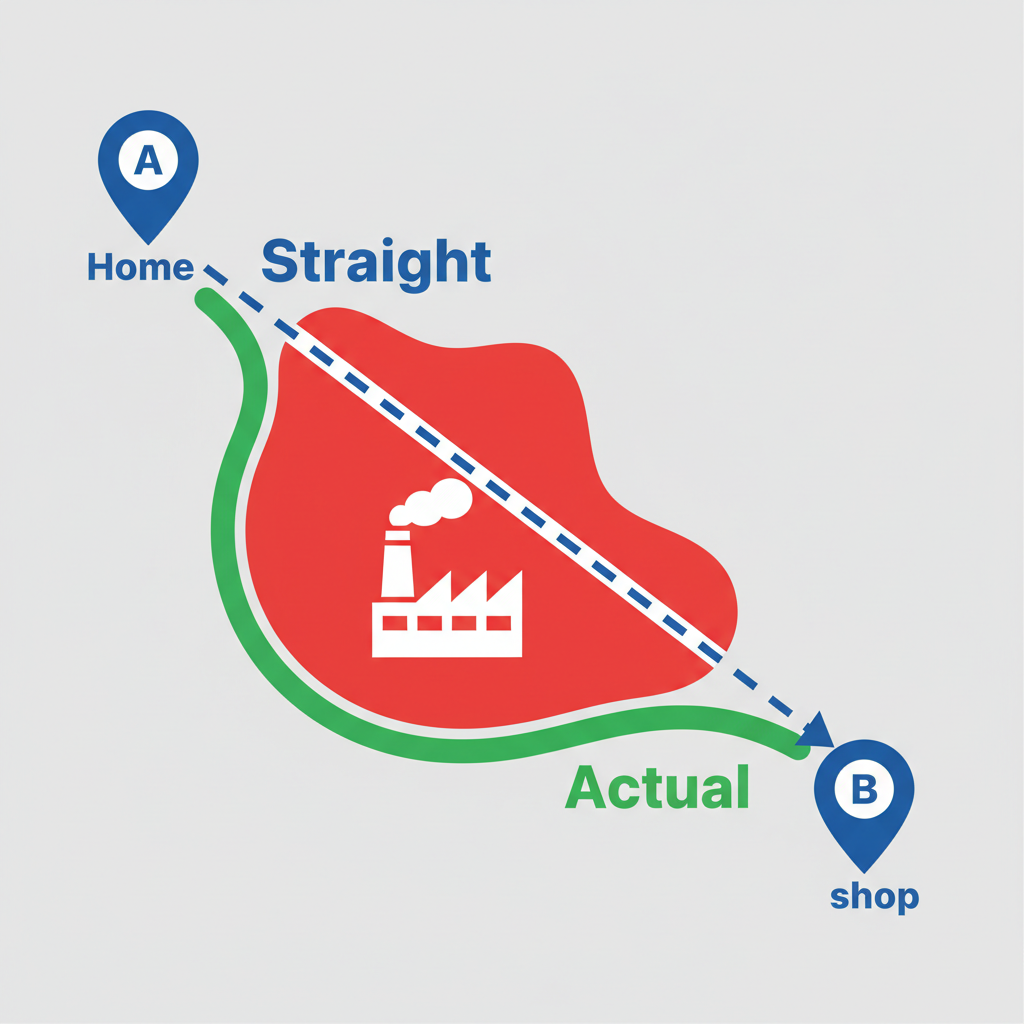
Line of sight ≠ accessibility. Physical barriers eat minutes of your life.
2. Environmental balance: when proximity is a sentence
Beyond physical distances there's neighborhood "chemistry." In urban planning it's called environmental balance. We rarely think about it until we move in and find windows facing a nightclub or a 24/7 Pyaterochka with eternal loading noise.
Some objects — schools, parks, cafés — create positive background. Others — industrial zones, dumps, highways — negative. The secret isn't fleeing to "clean field" but finding a point where pluses outweigh minuses within your daily activity radius.
Key thought: the ideal apartment isn't in an elite residential complex. It's the one with a "green" environmental heat map and minimal time costs for your personal scenarios.
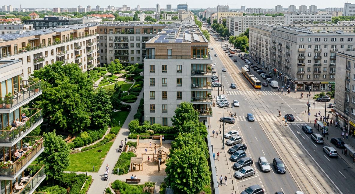
3. Chronourbanism: count not kilometers but hours in traffic
Weekly time budget
168 hours per week
Time is the only currency you can't earn back. So future housing should be evaluated through a weekly load calculator.
Imagine: what if every listing view showed not just layout but a number — how many hours per week you'll lose on mandatory logistics?
Your real life budget. Shrinking "lost time" automatically grows the "Rest and hobbies" segment.
Your search algorithm: from intuition to numbers
To stop guessing from coffee grounds, turn housing search into a simple three-step checklist.
Outline your needs contour
List 3–5 attraction points: office, school, gym, favorite park. Development matters specifically for your lifestyle.
Layer heat maps
A heat map shows concentration of what matters to you — noise, quiet, or nightlife pulse.
Run a time stress test
Estimate the "Home — work — shop" route at rush hour on Tuesday. If the number scares you — look for another point.
Tools like HotMap are handy here — they automatically weight dozens of object categories and color the city for your comfort.
From labor-intensive analysis to instant assessment
Everything above can be done manually: open dozens of maps, plot routes, build Excel tables of location pros and cons. But when choosing a district or a specific new build, these calculations take hours and still depend heavily on subjective "by eye."
HotMap was built to solve this. It works not as a listings catalog but as an urban-planning filter over the map. You enable a scenario — "Quiet and calm" or "Cultural center" — and the system highlights best zones, gathering walkability and environmental balance data.
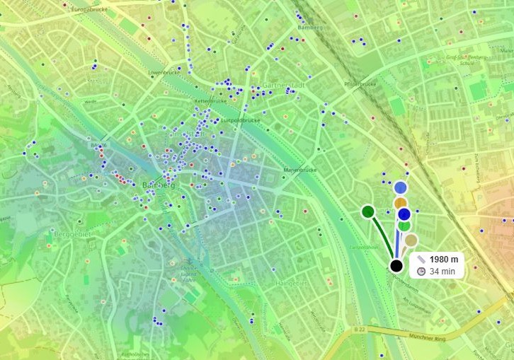
Instant identification of maximum comfort zone amid dense development.
Housing that won't betray you
Choosing an apartment is programming your life 3–5–10 years ahead. A mistake at this stage means chronic fatigue, no spontaneous walks, and eternal car dependence. The truth is technology already lets us peek behind beautiful renders and assess honest urban environment.
"The best transport system is the one you don't need because everything best is already next to you."
Start with a simple action: look at your current address or the option you're considering not as a map point but as a generator of a certain number of free hours per week. Choose a place that gives you time, not steals it.
Frequently asked questions
Does this work only for million-plus cities?
No, the "dead zone" and poor district connectivity problem is even sharper in small and medium cities where public transit doesn't run. Walkability and environmental analysis is often more important there than metro access.
How current is data in apps like HotMap?
Data is updated regularly, but remember: what matters is seeing systemic infrastructure gaps. If you're surrounded by industrial desert, a new café won't appear in a month. The map shows fundamental district structure that doesn't change for years.