The City Master Plan and Your Money: How Will Nearby Construction Change Your Life?
Imagine: a long-awaited subway station opens in your neighborhood. The trip downtown is 20 minutes shorter. But rents in neighboring buildings didn't rise — they fell. Why? The answer lies not in the station itself, but in what was built next to it. In this article you'll learn how to look behind the blue fence of future construction and see your neighborhood as it will become — before the bulldozers leave the site.

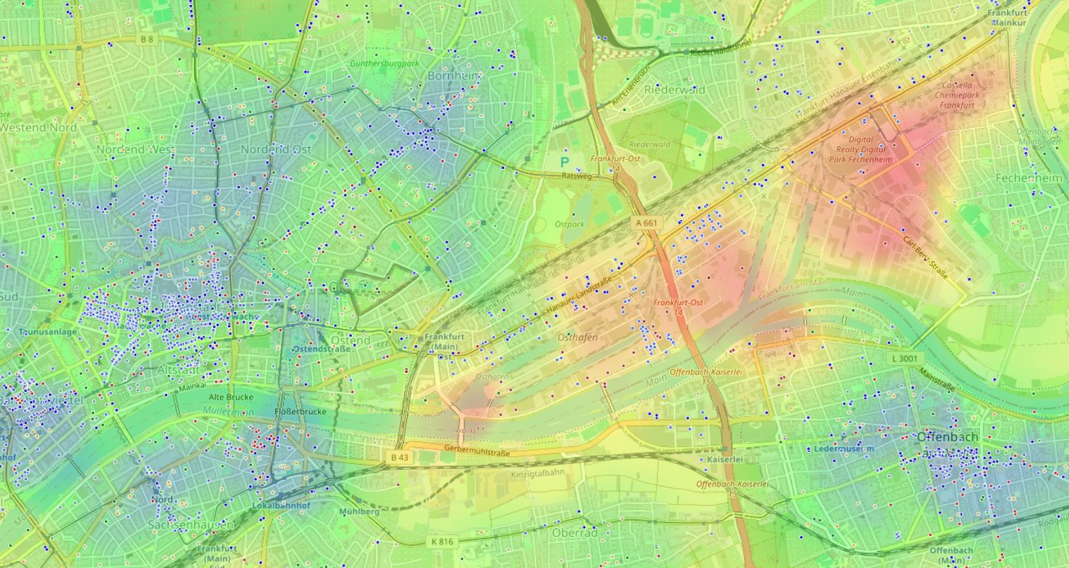
Where buildings rise, budgets grow or collapse
Master plans are no longer dusty documents in city hall. Today every new project — from waterfront renovation to an industrial cluster — instantly redraws a neighborhood's "invisible" fabric. It's not just the view outside the window that changes: routes, travel time, noise levels, access to quiet parks and corner shops are all reshaped.
And all of this translates directly into money: in the price per square meter, in rent, even in your transport costs. We feel changes at the symptom level: suddenly it's harder to leave the courtyard, there's a queue at the nearest coffee shop in the morning, and familiar quiet is replaced by the hum of a shopping center's air conditioners.
Ignoring these signals means missing the moment when a convenient neighborhood turns into a tiring one. Or, conversely — failing to notice how a candlestick on the outskirts became gold.
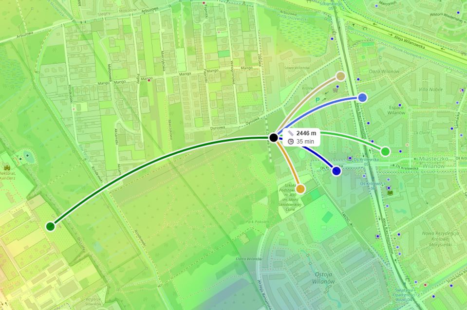
Three layers where construction hits your wallet
Chrono layer: time is money
Every new intersection or bridge rewrites your daily logistics. Cutting five minutes off the walk to the subway saves almost two full days a year.
Noise layer: the price of peace
Building a shopping complex with round-the-clock unloading destroys acoustic comfort. Every decibel above 55 dB reduces housing value by 0.3–0.5%.
Accessibility layer
A master plan can kill small business or create a magnet. The balance of everyday locations determines how many hours a week you spend in the car.
But if a highway appears nearby without pedestrian crossings, 15 minutes to school becomes 40. Moving an industrial zone 300 meters closer is also a blow to comfort. A master plan can kill small business by turning an alley into a highway bypass, or create a pedestrian boulevard with cafés.
"The pedestrian's main enemy isn't distance, but the psychological sense of danger. Four lanes of traffic can cut a residential neighborhood in half."

"We plan cities as if time were an infinite resource. But for a resident, time is the only currency that can't be earned again."
How future development will redistribute your minutes and hours is the main criterion of "gain" or "loss" from a master plan.
How to predict a master plan's impact on your comfort and budget
Find the current master plan and functional zoning map
This is open data. Look for documents on the administration website or specialized portals. We're interested not in pretty residential renders, but in the precise location of future objects: roads, schools, parks, industrial sites.
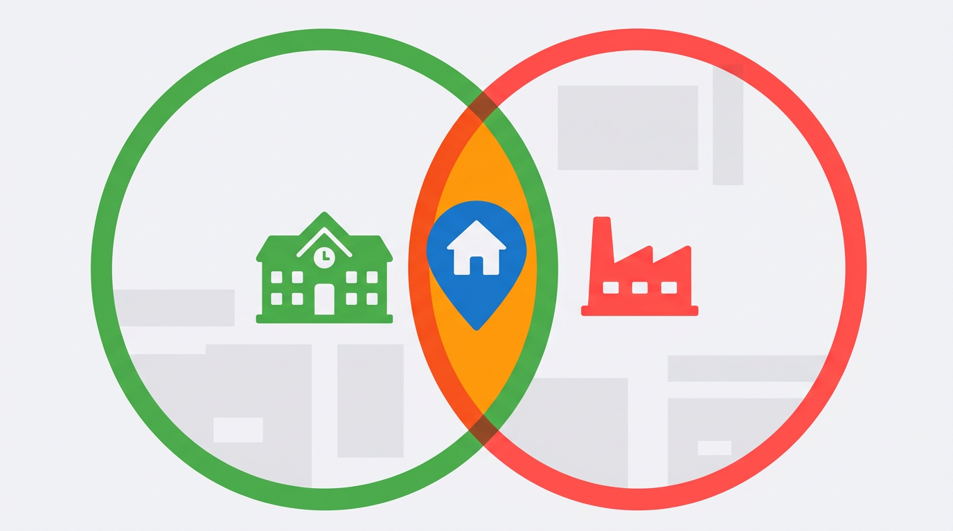
Draw influence radii
Each significant object forms a "bubble" of a certain size around itself. A school — roughly 400–500 meters of walkable access, a noisy industrial zone — up to 800 meters depending on wind direction, a subway station — up to 1 km of comfortable access. Place these circles on the map and see if they intersect with your home.
Calculate time to key points after changes
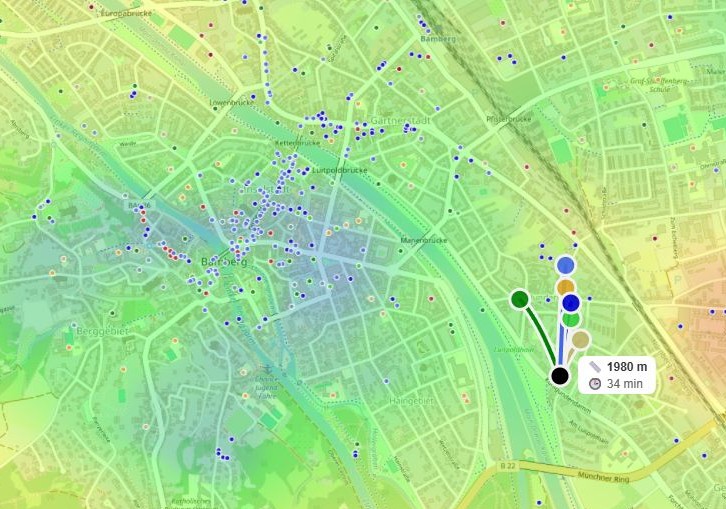
Using maps, build pedestrian or transport routes to three or four main locations for you: work, child's school, supermarket, park. Compare with current time. Write down the difference.
Build your personal "environmental balance"
Take a sheet or spreadsheet, list factors critical to you: quiet, greenery, café access, distance from noisy highways. Rate each factor as plus or minus considering future development. If minuses outweigh pluses, construction may worsen your life and housing value.
The most common mistakes: underestimating transport noise, ignoring construction phasing (a vacant lot can become a dust source for years), and forgetting that 400 meters in a straight line is not 400 meters of real path through fences.
When a compass can't cope: from tedious calculations to a heat map
The main barrier in this algorithm is manual counting. Radii overlap, times add up, and the balance of pluses and minuses is easily skewed if you forget a warehouse in the next block. That's exactly what we built HotMap for — a tool that works like an X-ray of the urban environment.
HotMap doesn't just plot object points — it instantly builds an environmental balance heat map. Just select the needed categories — schools, parks, cafés, highways, industrial zones — and set their influence radius (or pick a ready scenario like "Quiet and calm"). Color on the map shows where negative concentration is off the charts and where a future magnet is forming. You see not an abstract master plan, but its direct reflection in your daily scenario: how many minutes to the subway, what share of the district falls in the "green" walkability zone.
Manual approach
- Hours searching for data
- Compass and calculator
- Risk of error
- Static picture
HotMap
- Dynamic heat map
- Automatic travel time calculation to any object
- Scenarios: "Nightlife", "Cultural center", "Quiet and calm"
- Visualization of "red" and "green" zones
Look at your neighborhood from a new angle — and you'll understand whether tomorrow's construction will add to your apartment's price or become a source of headaches.
Conclusion: your neighborhood is a forecast you can verify
A master plan is neither a sentence nor a magic wand. It's a map of how your personal geography will change: routes, noise, neighbors, time. Learning to read this map before signing a mortgage or lease, you stop being hostage to the construction site outside your window.
You're choosing not just an apartment — you're choosing a future lifestyle calculated in minutes and decibels. Start simple: find your neighborhood's master plan, circle three main objects, and ask yourself — will my life become more convenient when all this is built? The answer may surprise you.
Frequently asked questions
Can you trust a master plan if it's often revised?
A master plan can change, but it sets a strategic direction for 10–15 years. For short-term forecasts, focus on already approved land subdivision projects and building permits. HotMap lets you quickly recalculate balance when data is updated.
Is this analysis suitable for renters?
Absolutely. Renters feel deteriorating accessibility and noise just as much. If a neighborhood "goes bad," a landlord may freeze renovations and raise rent through inflation, while you stay with the discomfort. Tools like HotMap help you understand in time where to move before negative changes become obvious to everyone.