Where to raise children: 5 non-obvious district criteria that will save parents years of life
Every morning you feel like a taxi dispatcher again, and your child gets "hurry up" instead of breakfast. School 15 minutes away by car, daycare through traffic, park only on weekends. Sound familiar? Let's see how to break this routine — and choose a location where childhood is within arm's reach.

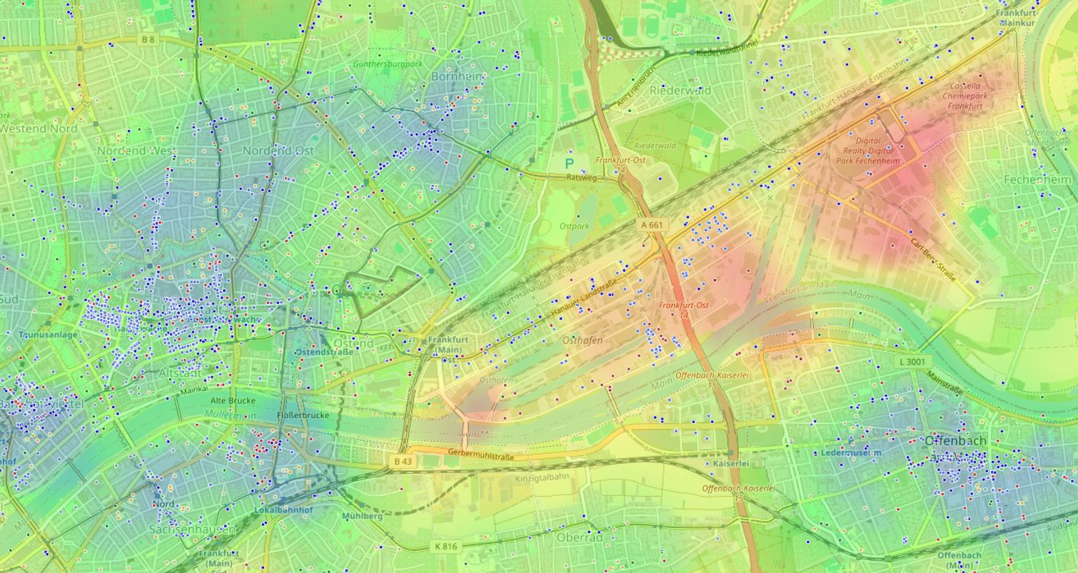
Why "walkability" stopped being just a pretty phrase
Thirty years ago children's independence was the norm: kids walked to school, clubs, and played in the yard — without a parent escort. Today urbanists name the key barrier: an environment designed for cars, not pedestrians. The "15-minute city" trend brings us back to the idea: everything necessary for everyday family happiness should fit inside a short walk.
When school, daycare, and a green park are more than 15 minutes on foot, a child becomes dependent on adult schedules. Charles Montgomery's chronourbanism research shows: every extra minute on the road takes time from spontaneous play, sleep, and socializing — the very things that make up healthy development.
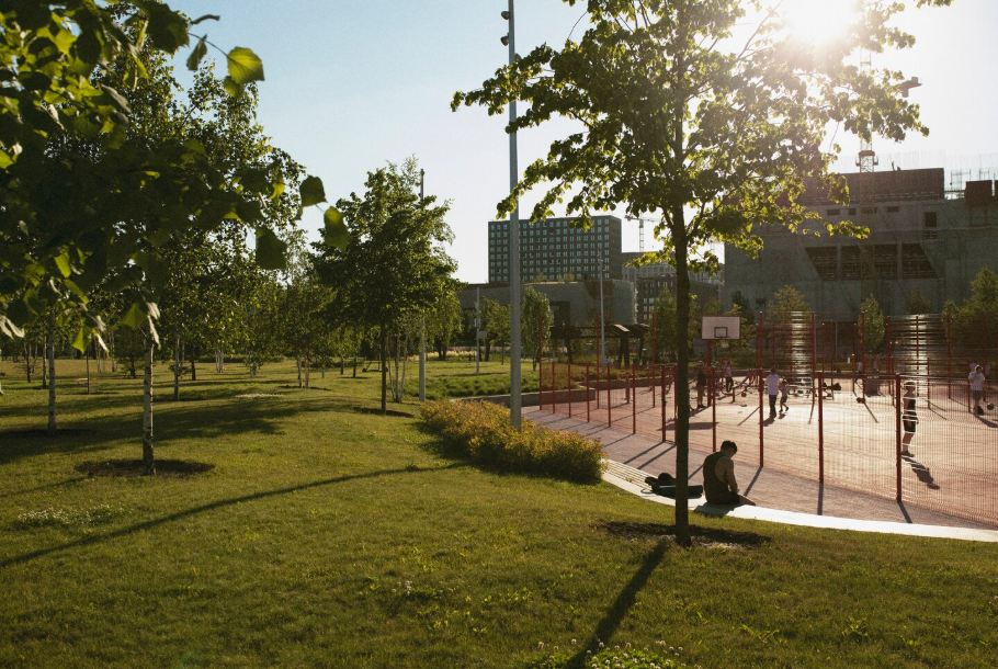
"A city convenient for a child turns out to be convenient for everyone. Yet we keep building cities where children have no place."
Speck meant not only infrastructure but the very logic of housing decisions. We evaluate square footage and price but miss the matrix of daily routes — yet it determines 80% of family stress.
What makes the ideal "child radius": 5 components
1. School not by ranking but by distance map
Evaluating a school only by exam scores is a mistake. What matters more is the time a child spends commuting. Research shows: a walk of up to 10 minutes in the morning improves concentration, while every extra minute in transport increases fatigue. Look for a school within 800–1000 meters of a real walking route (not as the crow flies). Check whether there's a safe crossing over major roads. Even neighboring blocks can differ in real accessibility because of fences, vacant lots, and highways.
2. Daycare: balance of "nearby" and "quality"
Ideally, the morning walk with a preschooler fits in 5–7 minutes at a slow pace. But daycares often "hide" deep inside blocks, and without cartographic analysis it's easy to miss an option around the corner. Don't settle for a backup "across the road": consider the return trip in the evening too, when you're carrying bags and the child is tired. Two daycares within a 10-minute radius — already a stable choice you won't regret on a rainy November day.
3. A park, square, or at least a "green pocket" right now
This isn't about an amusement park once a month but a daily chance to breathe. Urbanist Jeff Speck calls this a "third place" for a child after home and school. Check whether there's a playground, trees, benches within 500 meters — any space you can go to without packing a suitcase. And the path there must not cross a 6-lane highway. Green islands are often hidden behind courtyards; without overlaying data they're easy to miss.
4. Everyday infrastructure within 15 minutes on foot
Pharmacy, milk kitchen, small grocery store, familiar clinic — none of this should require calling a taxi. When the shop is in the next building, daily family logistics unload by 1–2 hours a week. And those hours can go to a walk in that very park. Up to 30% of a family's free time goes to "closing" basic needs.
5. Quiet transport accessibility for parents
It would be utopian to claim you can fully give up transport. But look at the district from the angle of "one transfer to work and a quiet route to the subway." A city noise map and proximity of stops without an overloaded roadway give that "quiet and calm" mode that both parents and children will appreciate. The "Quiet and calm" layer highlights zones where comfort is maximal.
How to assess a district before moving: a practical guide
Step 1. Mark your "anchor points"
Take a map and mark 3–4 objects that matter for your family: a specific school, work, favorite park, grandma's place. Draw 10- and 20-minute walking isochrones from each — you'll see overlap zones. Ignore developer promises; work only with actual routes.
Step 2. Check pedestrian connections, not straight-line distance
A straight line on the map often deceives: 300 meters can turn into 1.2 km because of fences and vacant lots. Walk potential routes virtually or in person. Pay attention to sidewalks, lighting, crossings — critical for a child.
Step 3. Build a score by categories
Rate each found point on the 5 categories from the previous section (school, daycare, park, errands, transport) on a 0–5 scale. Add the scores. Districts with 20+ are candidates. But gathering such data manually across dozens of blocks is a weeks-long task.
When manual analysis hits hundreds of points
The main barrier to this research is time. To truly compare even five districts, you need to gather and verify data on dozens of schools, daycares, pharmacies, parks, calculate real walking distances to each point, and overlay them on a map. That's where HotMap comes in — a geoinformation system that collects and visualizes environmental balance for any point on the map.
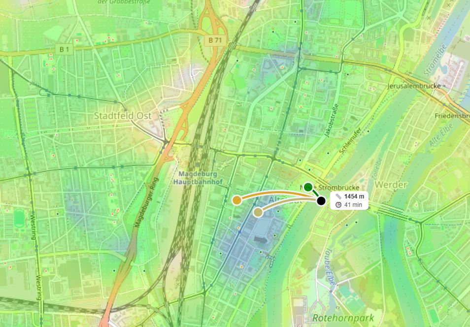
Set categories important for your family — schools, daycares, parks — and in seconds get a heat map: from zones with maximum "green" concentration of pluses to zones where factors are few or conflict. You don't need to be an analyst to spot the ideal block. One glance at the map replaces hours of searching. See how it works for your district
A good district isn't luck — it's measurable reality
There's no perfect "child-friendly" place in a vacuum, but you can assemble one like a constructor if you know which criteria truly matter. Walkability to schools, daycares, and parks isn't a guarantee of happiness but a powerful foundation that frees time and energy for life itself — walks, play, family dinners.
Start simple: draw your minimum comfort radius and check whether everything necessary fits inside. And if you want to be sure — look at the district through a tool that turns urban information chaos into a clear picture.
FAQ: Choosing a district for life with children
How does HotMap know what's good and what's not?
The system doesn't give ready "good/bad" ratings. You set which categories are pluses and which are minuses, and their weight. The heat map only visualizes the sum of these factors across the area — you see environmental balance, not someone else's opinion.
Can you use the data offline?
HotMap is a web system requiring a network connection to load current cartographic and infrastructure layers. But one session at a computer is enough for initial analysis.
What matters more: proximity to school or park?
Depends on children's age and family priorities. For younger schoolchildren and preschoolers, a park 5 minutes away is often more important than a school across the road with poor pedestrian access. HotMap lets you experiment with weights and see how the comfort "green zone" shifts.