House in the city: how to find private-sector housing with all amenities, not just garden beds?
Your own house with a lawn, morning coffee on the veranda — and café, school, and park ten minutes on foot. Sounds like housing from the future? Such places exist, and they're not in a remote suburb. So why do hundreds of families choose private-sector housing and six months later realize all that's left of civilization is garden beds and highway noise? This article offers a method that will flip how you search for a home. We don't give advice like "check the documents" — we show how to find a location where private life doesn't cut you off from the city but fits harmoniously into it.

Why a private house in the city isn't a compromise but a calculation
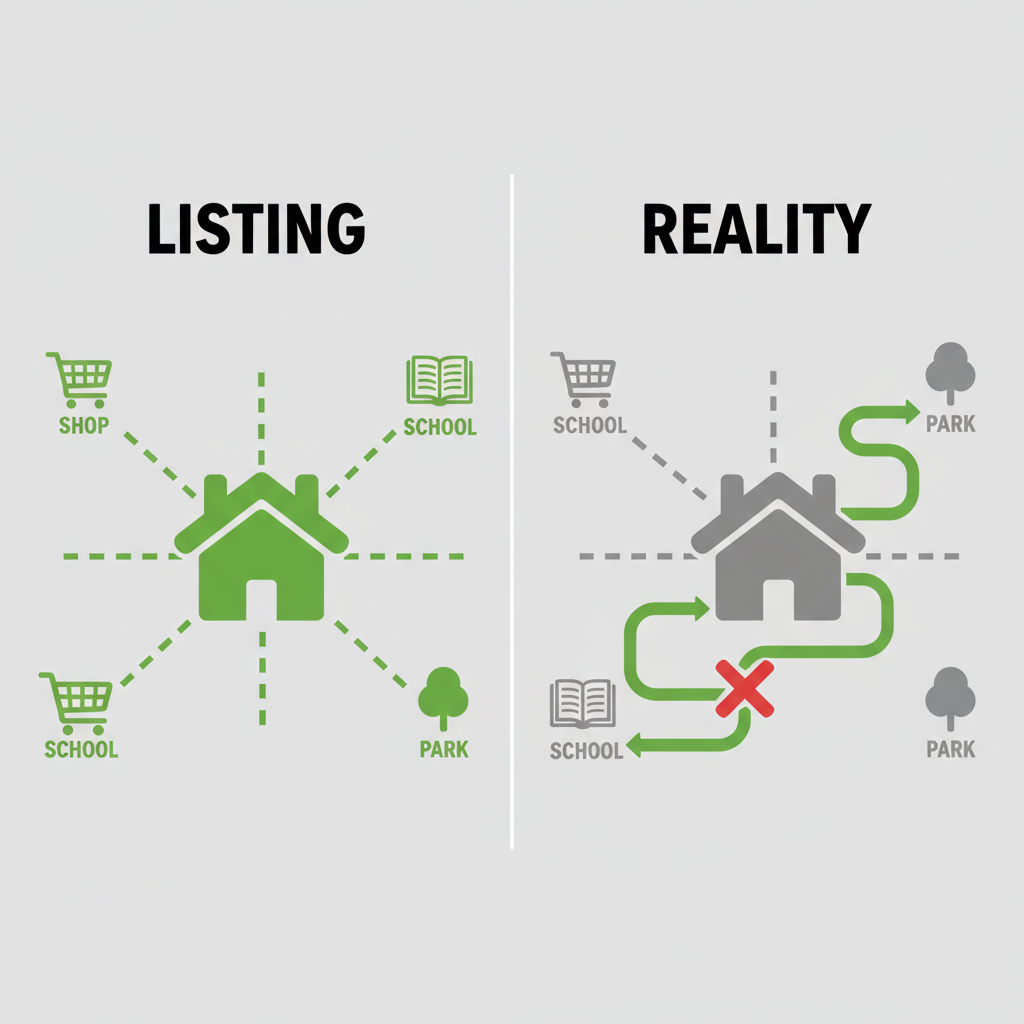
Hybrid work and the value of everyday comfort made "living in the city in your own house" a real request. People want space but aren't ready to sacrifice time on commutes. Usual listing services show only square meters and price.
The true picture of surroundings — how many minutes to the pharmacy, what the noise level is, what's visible from the window — they don't reveal. Ignoring this difference leads to buying a pig in a poke: a beautiful facade doesn't compensate for daily hours behind the wheel or no proper sidewalk to the store.

"Walkability isn't a bonus but the basic currency of quality of life. If you can reach school, park, and café in ten minutes, you live in the city even if private houses surround you."
Fence height and building density don't define urban comfort — connectivity of the environment around your plot does.
Three persistent myths about a house in the city
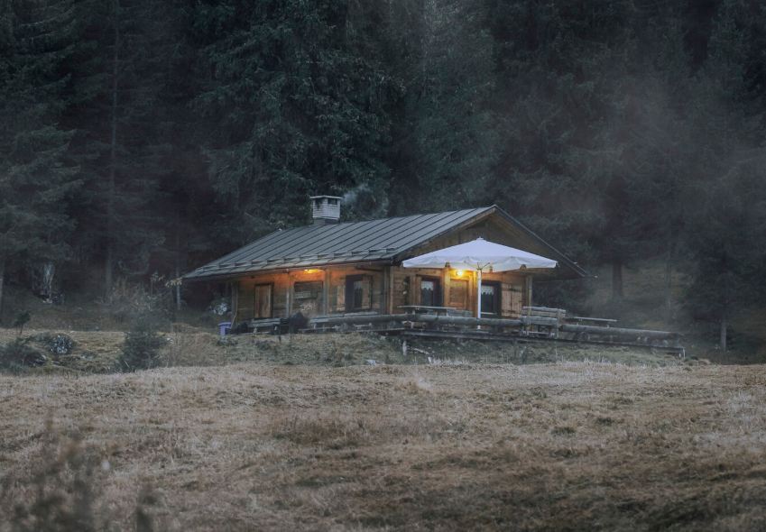
Myth: "Better farther from the bustle — quiet and your own atmosphere."
Reality: remoteness almost always means total car dependence for every errand. Children can't walk to school alone, and bread means a full expedition.
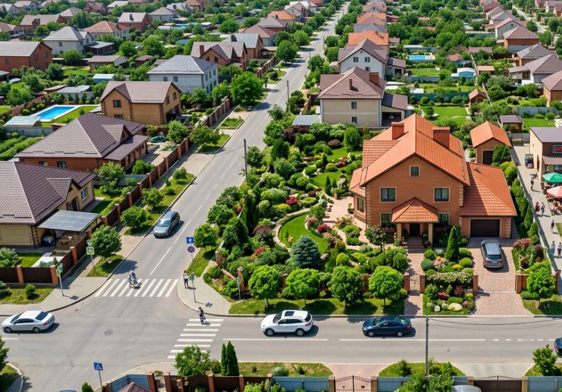
Myth: "If there's a plot, it's automatically convenient."
Reality: a plot surrounded by industrial zones, highways, and not a single tree becomes a solitary confinement cell with garden beds. True comfort comes from balance of quiet and accessibility.
Environmental balance: the main criterion missing from the listing
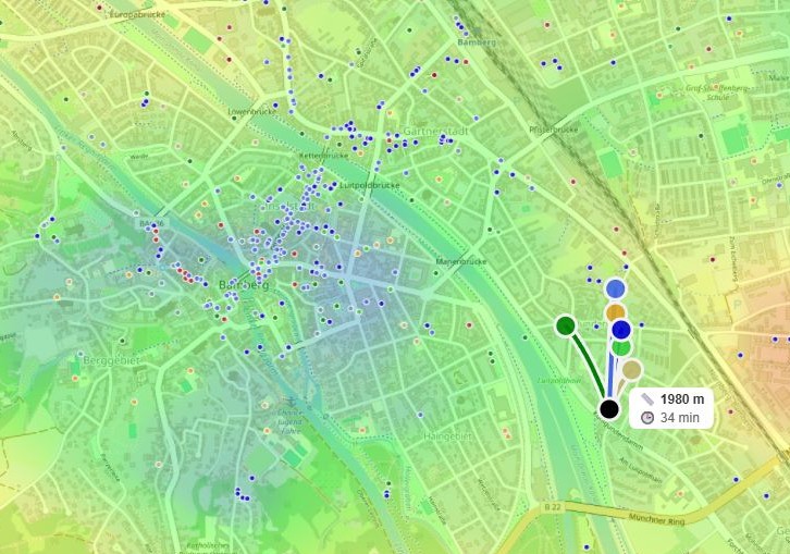
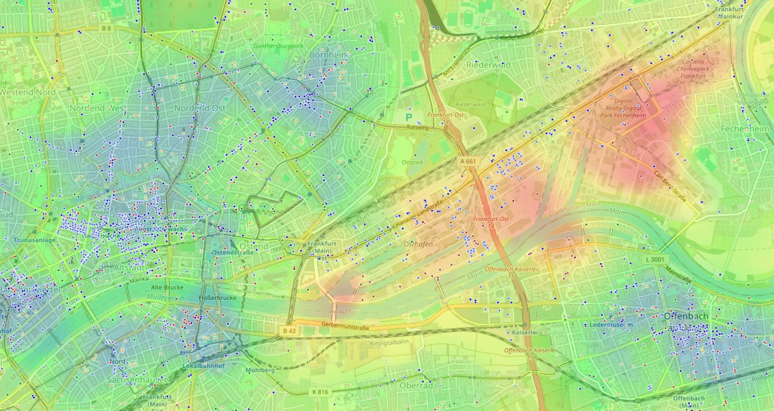
Imagine everything around your future home — from school to night club — emitting an invisible signal: beneficial (green) or harmful (red). Modern geoinformation systems can digitize these signals and overlay them on a map.
Such "environmental balance" isn't built from one or two factors but dozens of points: supermarkets, sports centers, museums, factories. Red zone — factory and busy highway, green — park, school, and bakery five minutes away.
Environmental balance heat map: red zones — factories and highways, green — parks, schools, and bakeries within walking distance.
Parameters holding up an urban house: three pillars
Walking accessibility to everyday amenities
Walking time is the only honest metric. 15 minutes to school, pharmacy, grocery — the gold standard. Anything farther you'll replace with a car, and then the "urban" house stops being one.
Quality of neighborhood, not quantity of objects
Having only cafés nearby is bad, only warehouses — worse. The mix matters: cultural spots, healthcare, education, parks — without skew toward entertainment or industry. This balance turns a location into a place to live.
Time cost of recurring routes
Driving kids to activities three times a week, 25 minutes each way — 2.5 hours a week, or 130 hours a year. Over ten years — 1300 hours, almost two months of life behind the wheel. Quantify such losses — and the illusion of "not far from the city" vanishes.
Time cost of regular trips
Total hours per week
How to assess a plot in 20 minutes — without visiting in person
Step 1. Open the map and enter the point
Not an approximate district but the specific address of a potential house.
Step 2. Configure priorities for yourself
If sleep and calm are critical — enable "Quiet and calm" mode. If you need schools and activities — set them manually with high positive weight.
Step 3. Look at the overall climate
The balance heat map will immediately answer whether this place is worth considering. Confident "green" is a good sign; a broad "red" halo — reason to keep searching.
Step 4. Check walking reach to key objects
Build a 15-minute isochrone. Make sure school, store, and park are inside the zone.
Step 5. Calculate the "cost" of routine
Time arcs to work, daycare, stadium show total weekly costs. Compare with your current home — numbers often sober you up.
If you don't want to count manually
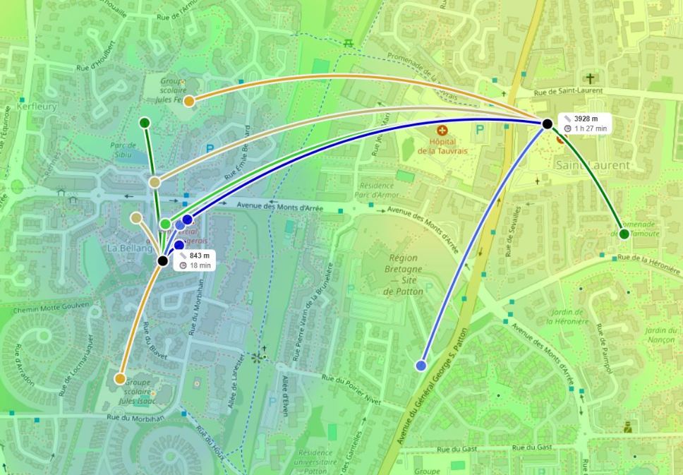
Doing this analysis for even five addresses manually is an evenings-long task. HotMap automates this routine: you set important categories, and the system builds a balance heat map and highlights promising "oases" within the private sector.
You see not houses but the environment around them — and compare options by data, not intuition. No reports, only a live map where it's immediately clear where it's "private sector plus city" and where it's "house and emptiness."
Summary: private house as continuation of the city
True comfort isn't hiding from everyone but being able to reach your favorite pastry shop in five minutes or let your child walk to school without a car.
Tools highlighting environmental balance turn the search from lottery into a clear algorithm. Try this approach once — and old methods of browsing dozens of listings will feel like roulette. An urban house is math that adds up.
Frequently asked questions
Can you find a house this way in a small city without a subway?
Yes, the principle works everywhere. Subway is just one category. The main thing is to honestly define your "basic set" (school, clinic, supermarket) and assess real walking routes.
Are traffic jams accounted for in time calculations?
The system calculates average time using historical road data for a given day and hour, so you get not an ideal picture but one close to reality.
Where does data on schools and pharmacies come from — isn't it outdated?
HotMap relies on regularly updated cartographic data and open registries, so accuracy is comparable to leading navigation services. For critically important objects you can always verify manually — the map just helps filter out clearly unsuitable options.