A city map that knows what you love.
Visual analysis of cities based on POI. Live, hang out, be inspired.

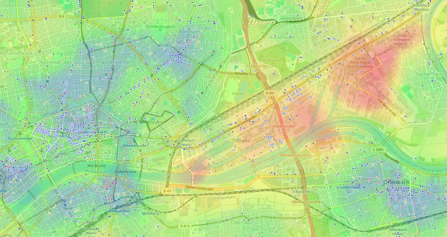
Moving, searching for a home,
or just a boring evening?
We know where it's better.
How do you plan the perfect tourist route?
The "Cultural Life" mode highlights districts where life is buzzing. The map helps you find the city's cultural heart — cafes, restaurants, museums, and parks.
Where to go out at night?
The "Nightlife" mode shows where the fun never stops and only blossoms after sunset. Clusters of bars, clubs, and restaurants.
Where's the best place to rent an apartment?
The "Daily Life" mode lets you objectively assess infrastructure accessibility. Kindergartens, shops, metro stations, green spaces. It's the combination of many factors that builds a comfortable living environment.
How it works
Three simple steps

Open the map
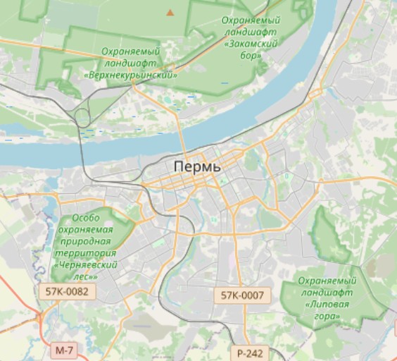
Launch the app, pick any city, and zoom in.
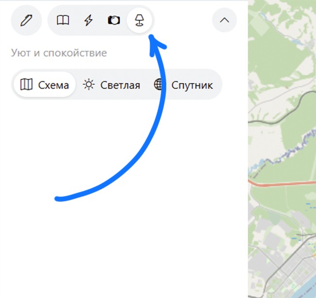
Choose a filter
Nightlife, Daily Life, or Culture — one click. Or create your own custom map.
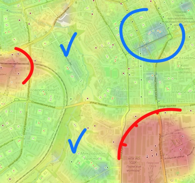
Analyze
The heat map highlights favorable spots. Watch out for the red zones ;D
Manual settings
Experiment
In manual mode, you can set your own conditions. Pick the categories you like and the radius within which each object will affect the map.
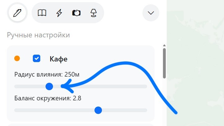
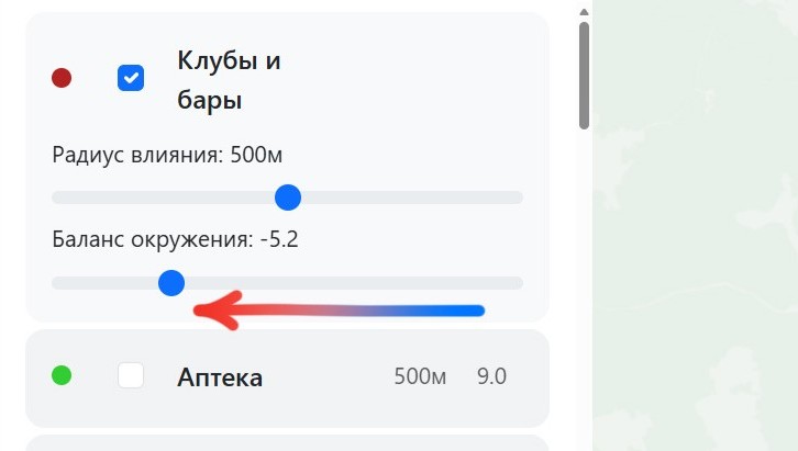
Set priorities
Each type can be given either a positive or negative weight. Or if you want to live next to a power plant, go ahead and boost its priority.
© OpenStreetMap
Our maps are built on data from the OpenStreetMap (OSM) — the free and editable geographic atlas of the world. We use information about millions of points of interest (POI), collected by thousands of contributors across the globe. This allows us to stay current and detailed. The data is distributed under the ODbL.